


Key Takeaways:
- Jet stream cold wave causes rapid temperature drops across central and northern India, forcing school closures and travel disruptions.
- Madhya Pradesh records sub-6°C nights as jet stream reaches speeds of 287 km/h; several states issue fog and rain alerts.
- Patna and other Bihar districts face orange fog alerts with dozens of flights delayed or cancelled.
- Authorities have announced temporary school holidays and issued weather warnings while airports manage widespread flight disruptions.

Severe winter conditions driven by a strengthening jet stream have swept across central and northern India, leading authorities to declare school holidays and airports to manage widespread flight disruptions. The fast-moving upper-level winds have contributed to sharp overnight temperature falls and dense fog, affecting daily life and travel.
Jet stream cold wave brings sharp temperature drops
Meteorological departments reported that the jet stream reached speeds of around 287 km/h, pulling cold polar air southwards. In Madhya Pradesh, night temperatures plunged: Bhopal recorded 5.6°C while parts of Shahdol district fell to 3.8°C. The state government announced winter vacations for schools from 31 December until 4 January, closing institutions from UKG through Class 12 as a precautionary measure.
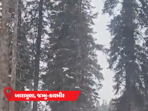
Dense fog compounded the chill and reduced visibility across several states. In Bihar, the provincial capital Patna and 28 other districts are under an orange alert for thick fog. Patna Airport saw significant disruption, with 10 flights cancelled and 16 flights delayed while authorities contend with persistent cold-day conditions and an ongoing cold spell.
Uttar Pradesh and neighbouring regions also reported travel delays as visibility dropped. Delhi- and Chandigarh-bound services were diverted, and some flights operating via Jaipur were cancelled or rerouted because of fog. On Monday, IndiGo cancelled 118 services nationwide, affecting major airports including Delhi, Mumbai, Bengaluru, Kochi, Hyderabad, Kolkata, Amritsar, Chandigarh, Jaipur, Dehradun, Indore, Patna and Bhopal.
Regional alerts and airport impacts
States across the north are on varying alert levels. Rajasthan faces the prospect of an active western disturbance bringing rain to parts of the state around New Year, while Haryana recorded thick fog over several districts and issued orange warnings for Kaithal, Karnal, Kurukshetra, Ambala and Yamunanagar. Haryana has announced school holidays from 1 to 15 January in affected areas.
In Uttarakhand, forecasters warned of rain and snowfall in four districts, with yellow fog alerts in six other districts. Dehradun Airport experienced multiple delays; authorities recorded nine to 12 delayed flights on the day of reporting. Himachal Pradesh has been placed under a 96-hour alert for rain and snow in higher elevations.
Meteorologists explained that the jet stream—an upper-level band of fast-moving air that separates colder polar air from warmer tropical air—can influence surface conditions when it shifts southwards or slows. If it remains stationary, cold air can become trapped for several days, intensifying cold-wave effects and persistent fog.
Precautions and outlook
Officials have urged residents to take cold-weather precautions, especially the elderly and young children, and advised travellers to check flight statuses before travelling to airports. Local administrations have mobilised resources to manage school closures and ensure essential services remain operational.
Forecasters expect the weather pattern to continue into the first days of January, with a western disturbance likely to bring rain and isolated snowfall in northern hill districts. Authorities are monitoring the situation and will update advisories as conditions evolve.
For commuters and parents, the immediate message is to expect continued disruption and to follow guidance from local meteorological and transport authorities as the jet stream cold wave continues to move through the region.


