


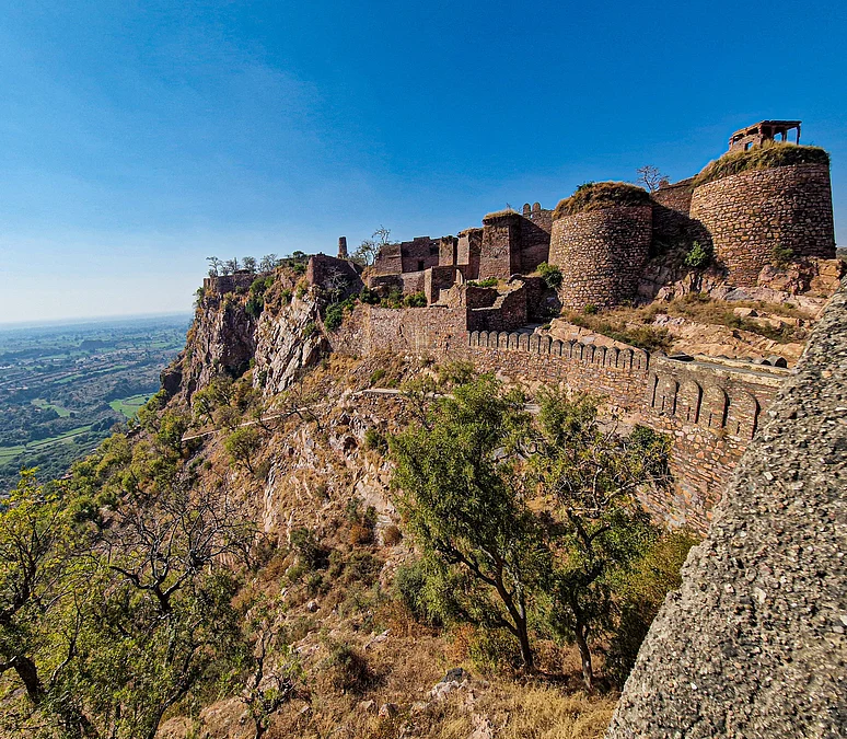
About 200 kilometres south of Delhi, Bayana in Rajasthan stands as a testament to how geology and water once combined to create wealth and how changes in earth processes can erase it. The town, famed for historic crystalline sugar production, declined after a sequence of distant earthquakes in the early 1500s and a long-term fall in groundwater levels that altered its wells and local economy.
Aravalli seismic risk
Bayana sits on the Bayana Basin at the eastern edge of the North Delhi Fold Belt, part of the ancient Aravalli Craton. The Aravallis are not a single-age range; they were formed in multiple episodes over billions of years and include quartzite and gneiss that affect how seismic waves travel. Modern seismologists track crustal reflectivity variation (CRV) to understand how waves bounce through layered rocks. Small differences in rock density, the presence of fluids and existing faults can reflect, amplify or dampen those waves.
Crucially, damaging seismic effects need not originate nearby. Historical records and geological studies link Bayana’s decline to quakes hundreds or even thousands of kilometres away, including events recorded in the Baburnama near Kabul and in the Kumaon–Nepal region. These distant tremors transmitted energy through the crust, altered groundwater flows and weakened shallow aquifers that sustained Bayana’s economy.

Recent research highlights two modern mechanisms that increase seismic vulnerability: human-driven water table decline and landscape alteration through quarrying. A 2023 study showed that massive groundwater extraction can shift mass distribution enough to affect Earth’s rotation minutely; locally, the lowered water table may change how shockwaves propagate. Elsewhere in India, incidents such as the Talala quake of 2011 and the reservoir‑induced seismicity at Koyna in 1967 demonstrate how surface or near-surface processes and the weight of water can trigger or amplify tremors.
Cities on or near the Aravallis — Delhi, Jaipur and Udaipur among them — are poorly studied for localised seismic sources, according to recent assessments. Delhi is in a high-seismicity zone and routinely experiences magnitude 5–6 events; larger quakes are possible. Local news and national seismology centres have reported tremors in towns east and west of the Aravallis as recently as December 2025, underscoring ongoing risk.
Policy choices now carry long-term consequences. Proposed mining and development in the Aravallis threatens to remove stabilising rock, alter groundwater recharge and expose ancient faults. Beyond the geological risk, the range holds cultural and hydrological importance: it feeds rivers such as the Banas and Luni, hosts pilgrimage routes and contains potential geoheritage sites that once sustained human settlements.
Experts urge a precautionary approach. Comprehensive seismic mapping, groundwater impact assessments and independent environmental reviews should precede any large-scale extraction. Preserving the Aravallis is not only about conserving trees and preventing dust; it is about protecting a geologically sensitive barrier whose alteration could increase the likelihood of distant or locally triggered quakes with social and economic costs.
Bayana’s story is a warning: landscapes shaped over eons can change human fortunes overnight. Policymakers must account for geological connectivity as they balance development, heritage and safety in one of India’s oldest mountain regions.
Key Takeaways:
- Bayana’s decline illustrates how distant earthquakes and changing groundwater can reshape settlements.
- Geological studies show the Aravallis transmit and sometimes amplify seismic waves; experts warn of an Aravalli seismic risk.
- Overextraction of groundwater and quarrying could magnify tremors, as seen in reservoir‑induced and shallow-fault events.
- Policymakers must weigh heritage, water security and seismic hazard before approving large-scale mining.


