


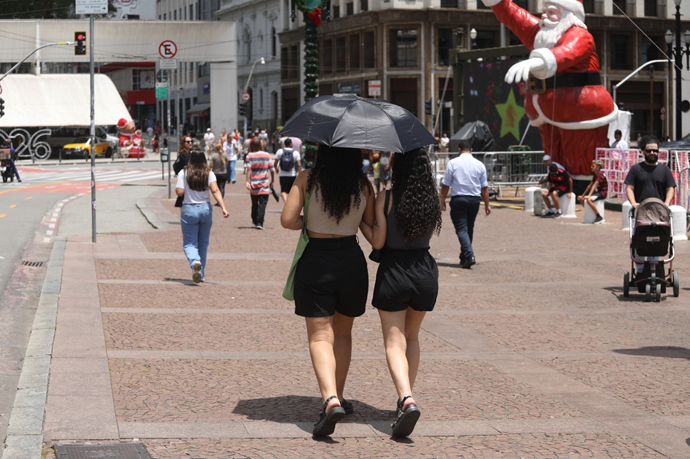
The first day of 2026 began in São Paulo under cloudy, humid skies, with the city’s emergency weather centre advising residents to expect a maximum temperature near 31°C and a low around 21°C. Isolated downpours are likely from mid‑afternoon into the early evening, and municipal authorities warned of a heightened risk of flooding and falling trees in affected neighbourhoods.
Brazil weather forecast
São Paulo’s Centre for Emergency Climate Management (CGE) highlighted the potential for intense, though typically short‑lived, thunderstorms in some parts of the city. Humidity is forecast at roughly 55% on the first day of the year. With January the peak month for summer rains in the region, the CGE emphasised that the arrival of heavier showers is consistent with seasonal patterns, though locals should remain alert to isolated severe events.
Historical figures underline January’s significance for rainfall: the long‑term average for the capital is about 256.4 mm. December recorded 177.3 mm, modestly below the 184.2 mm usually expected for that month, but meteorologists say the seasonal rainfall can intensify rapidly with changing systems.

Forecasters expect hot and muggy conditions to persist in São Paulo through the first weekend of January. Rainfall activity is projected to increase from Saturday as a cold front approaches, raising the likelihood of more widespread thunderstorms between mid‑afternoon and early evening.
At a national level, the National Institute of Meteorology (Inmet) issued alerts for severe thunderstorms on 1 January across the Southeast states, as well as in Goiás, the Federal District and the western sector of Bahia. The institute warned of heavy downpours in short intervals, gusts reaching up to 100 km/h and a chance of hail over much of the Southeast, Goiás, the Federal District and western Bahia.
Inmet pointed to the development of an Atlantic South Convergence Zone, a phenomenon that channels moist air from the Amazon towards the Centre‑West and Southeast, promoting widespread instability. Regions singled out for particular caution include the Vale do Paraíba in São Paulo, the mountain ranges of Rio de Janeiro, southern Minas Gerais and southern Espírito Santo.
Southern Brazil is also under scrutiny. Inmet flagged severe conditions for the south‑west of Paraná, western Santa Catarina and the north of Rio Grande do Sul, where strong winds and heavy rain could produce hazardous conditions for travel and infrastructure.
Authorities urged residents to take practical precautions: secure outdoor objects, avoid driving through flooded stretches of road, and stay clear of areas with fallen trees or branches. Municipal emergency services and Inmet recommend following local bulletins and using official channels for real‑time warnings.
Looking ahead, forecasters say the main risk window for more organised and potentially widespread storms will open as the front advances over the weekend. For now, scattered but sometimes severe storms are the dominant feature of the national outlook, making vigilance advisable across several states as the new year starts.
For updates, consult the CGE and Inmet advisories and heed local emergency guidance.
Key Takeaways:
- Brazil weather forecast: São Paulo wakes to cloudy, humid conditions with a top temperature of about 31°C and isolated afternoon storms.
- Municipal and national alerts warn of flooding, fallen trees and intense but brief thunderstorms, with winds up to 100 km/h in some regions.
- The Atlantic South Convergence Zone is pulling Amazon moisture towards the Centre-West and Southeast, increasing instability across several states.


